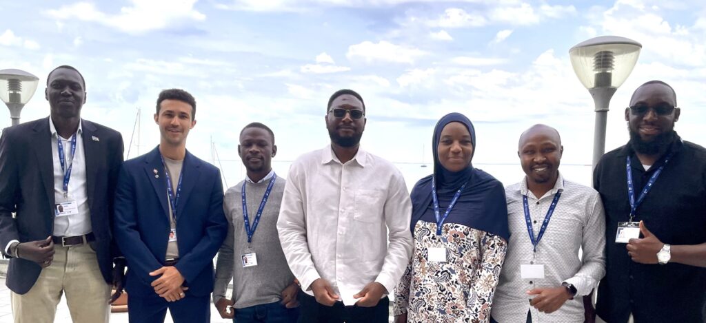
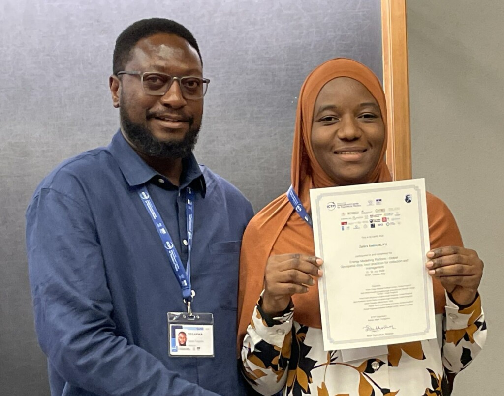
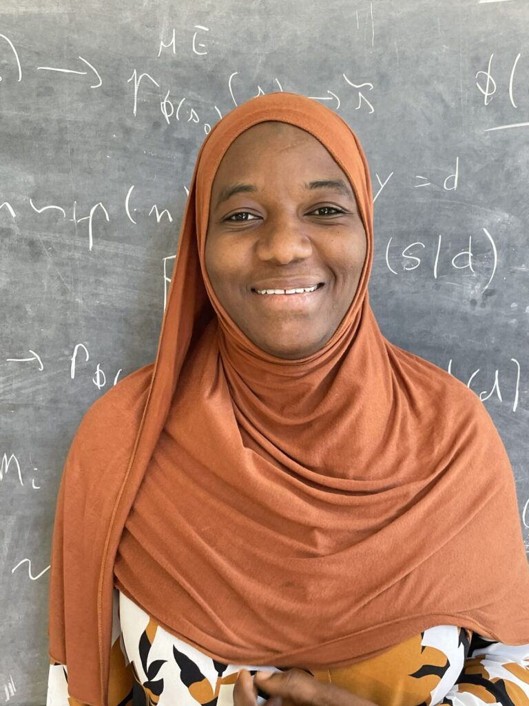
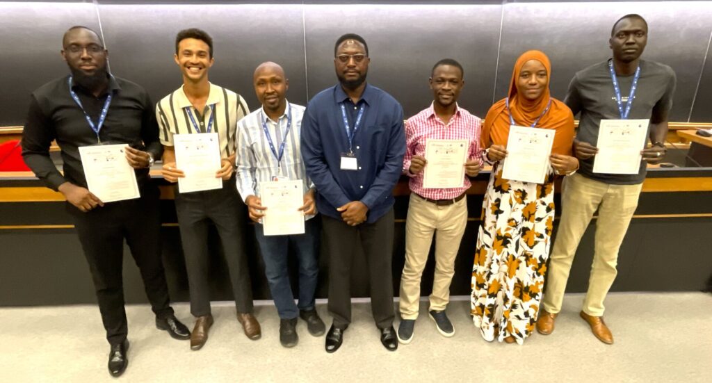
Zahira Aminu works with the Energy Commission of Nigeria (ECN), a government agency responsible for the strategic plans and coordination of policies relating to energy. Zahira works in the Energy Information System Department where she collects, manages and disseminates energy data. At EMP-G 2026, Zahira studied the GeoSpatial Data track with Lupupa Siulapwa, an Energy Access and Electrification Strategy Specialist from Zambia. Lupupa was previously an attendee at EMP-G like Zahira.
Tell us about your experience with energy modelling
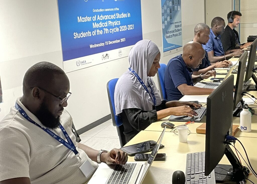
I have experience in energy modelling as well as in the compilation of energy statistics and energy balance. I was first introduced to energy modelling about five years ago. In 2023, I had the opportunity to attend a training jointly organised by the International Atomic Energy Agency (IAEA), Net Zero World, and Argonne National Laboratory, where I was introduced to some energy modelling tools. The tools were MESSAGE, LEAP, GCAM, and TIMES, and I gained an understanding of how they are applied, as well as their strengths and limitations.
Can you share any examples where the use of modelling has resulted in a practical outcome?
Yes, in my own organisation, ECN, we use modelling tools in our energy planning. One tool that we are currently using is the Nigeria Energy Emissions Calculator, which was developed for the UK 2050 framework. It helps you to understand demand and mobilise the supply technologies while also understanding the related emissions.
The results of the calculator were used in the update of our Nationally Determined Contributions, and my organisation is planning to update the national energy master plan and policy using the result in the update to give us insight.
What kind of difference would you say energy modelling makes to these decisions?
As one saying goes, “All models are wrong, but some are useful”, right? So Modelling tools are not designed to tell you exactly what will happen in the future. Instead, they provide guidance and insights into what we can expect under different pathways. For example, if we develop a scenario that focuses on the use of renewable energy, the model will show the possible outcomes. Similarly, if we consider a pathway that relies more on fossil fuels, the model will help us understand the potential impacts. It is simply a guide that helps us explore different options and make informed decisions.
Why did you choose to study GeoSpatial this time?
I chose GeoSpatial because energy planning depends on reliable and accurate data. Geospatial data is important in energy planning because it helps us understand where infrastructure exists, where gaps remain, and where investments are most needed. In Nigeria, we have a significant urban-rural access gap. And geospatial data would help us identify these disparities and support better planning.
Before attending this training, I thought geospatial data management was just about creating maps. But this training has changed my perspective. It is about ensuring that data is accurate, standardized, well-documented, and supported by a proper governance framework that improves the management, sharing, and use of geospatial energy data across institutions in the energy sector.
Do you feel that there is something that current models are not including that could be added to future versions?
Not really. I think the existing models cover most aspects quite well. But there is a need to consult with local communities to sense-check proposals before they’re implemented.
An example is clean cooking. We have situations where improved clean cooking technologies are distributed to villages. However, at the end of the day, some communities do not adopt these technologies because they are not aligned with their way of life.
For instance, in a typical village in Nigeria, many households use the traditional three-stone cooking method due to large household sizes. The technologies being provided may not always be suitable for this context. Instead of only providing the technology, it is important to engage with communities, understand their needs, and explore how the technology can be adapted to their environment.
What would you say to somebody working in government about the benefits of energy modelling – would you recommend it?
The Energy Commission of Nigeria is the leading institution responsible for energy planning, but we do not produce all the datasets that we need. Therefore, we need to work closely with other agencies, and the government needs to establish a framework that promotes coordination and data sharing among agencies involved in energy planning.
These institutions are interdependent. When we talk about energy, we are not only talking about electricity; we are also talking about areas such as cooking, transportation, and other energy uses. However, in many cases, when people refer to energy, the main focus is often on electricity. Energy modelling helps us take a more integrated view of the energy sector and supports better-informed planning decisions.
How would you sum up your time at EMP-G?
Wow, it has been a valuable experience. I’ve learned a lot from my colleagues and my trainer. I really appreciate the organizers, CCG, SEforAll, and the ICTP for providing such a great platform for learning and professional development. I look forward to participating in more learning opportunities in the future.